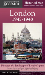
London Sheet Maps

Maps spanning 150 years of rich history from 1805 to 1946, each exploring a crucial period in London’s recent history.
They reveal how the capital engulfed surrounding villages to become, for much of this period, the largest city in the world. Each 1:50,000 map explores a crucial period in London’s recent history: the late Georgian (1805-22), the late Victorian railway era (1897-8), the dawn of the motoring age (1919-20) and the period of reconstruction following the Second World War (1945-6). A more in-depth view of late-Victorian central London is provided by the Street Map.
Price
£19.99
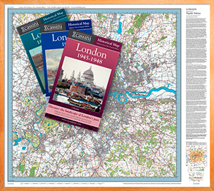
The 12 Maps In This Series
Also available is a 5-Map Boxed Set of London Maps
This Boxed Set features:
Five large-format maps revealing London's development between 1805 and 1948.High-quality reproductions of Ordnance Survey's One-Inch Maps enlarged to 1:50,000.
Details street map from Standford's Map of London and its Suburbs at 1:10,560.
Historical notes by Alex Werner and Dr Cathy Ross of the Museum of London.
Price
£75


