Old Maps of Elsing, Norfolk

Historic maps of the Elsing area
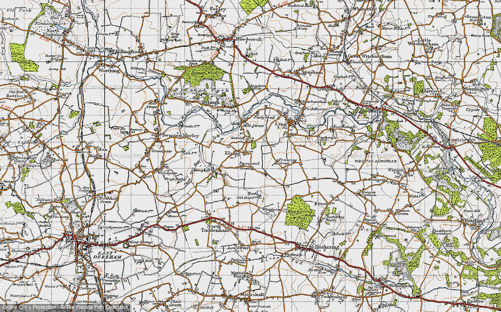
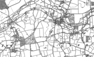
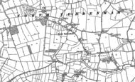
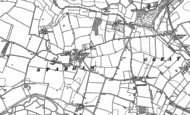
Take a look at our selection of old historic maps based upon Elsing in Norfolk. Taken from original Ordnance Survey maps sheets and digitally stitched together to form a single layer, these maps offer a true reflection of how the land used to be. Explore the areas you know before the railways, roads and places you know became what they are today.
All these maps are available to buy as a wide range of products, including Framed Prints, Canvas Prints, Jigsaws, Mugs, Tea Towels, Cushion Covers. They make wonderful, unique and personal gifts for almost any occasion.
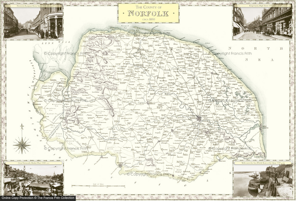
Old Historic Victorian County Map featuring Norfolk dating back to the 1840s available to buy in a range of prints, framed or mounted or on canvas.
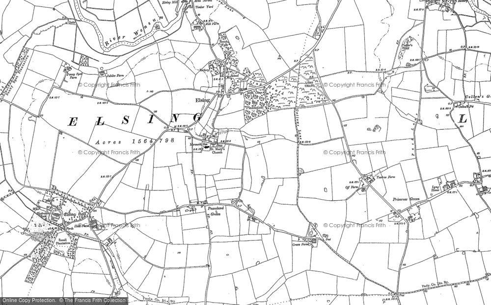
Elsing, 1882
Ordnance Survey, County SeriesScale: 1:10,560
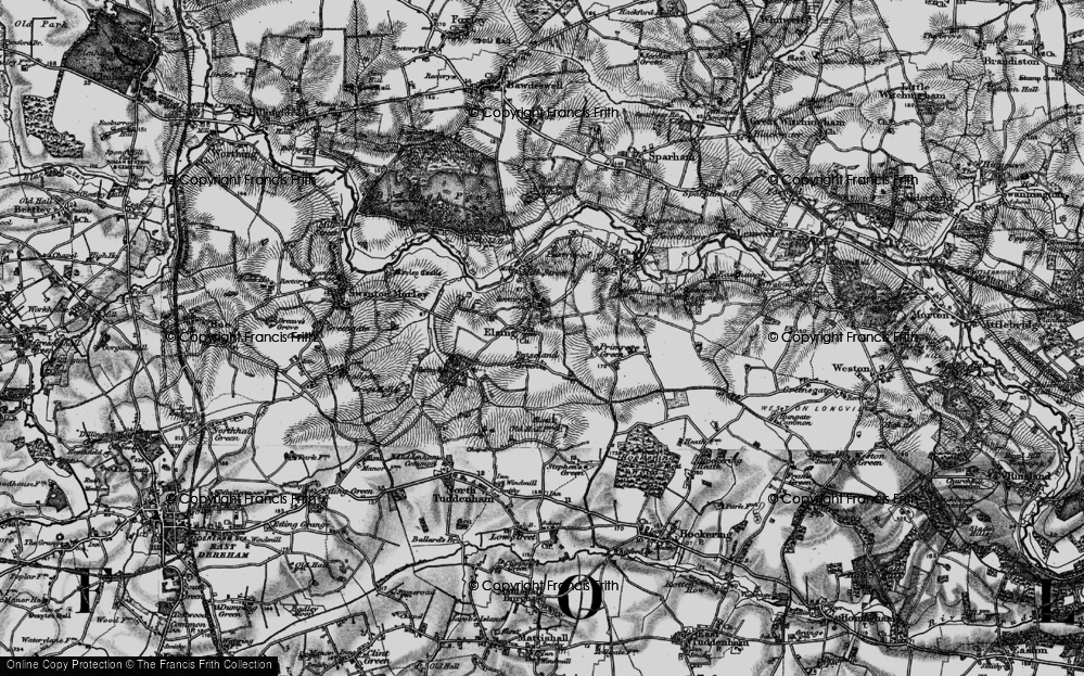
Elsing, 1898
Ordnance Survey, Revised New SeriesScale: 1:50,000
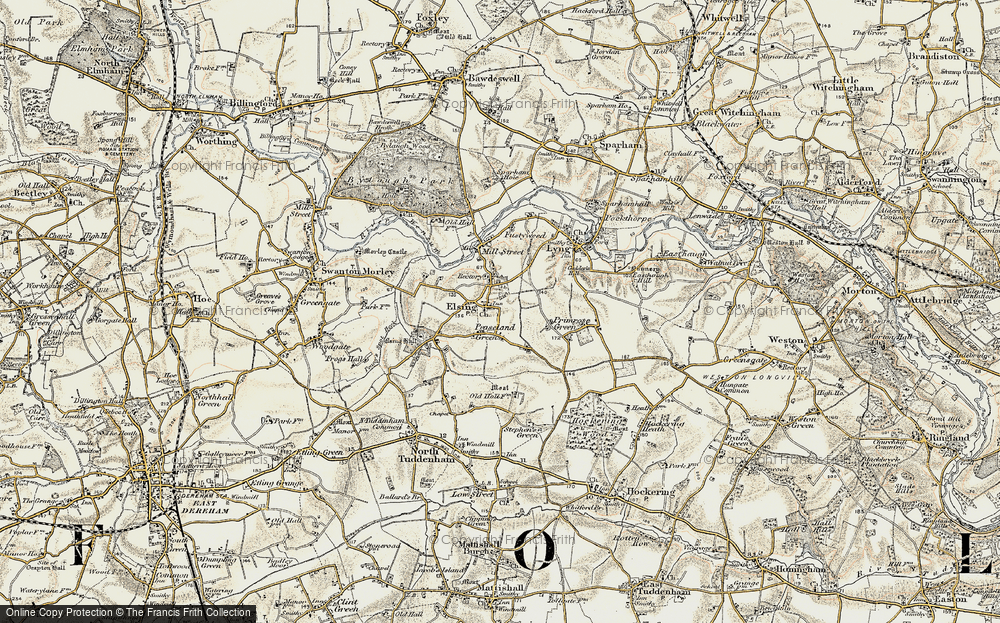
Elsing, 1921
Ordnance Survey, Popular EditionScale: 1:50,000
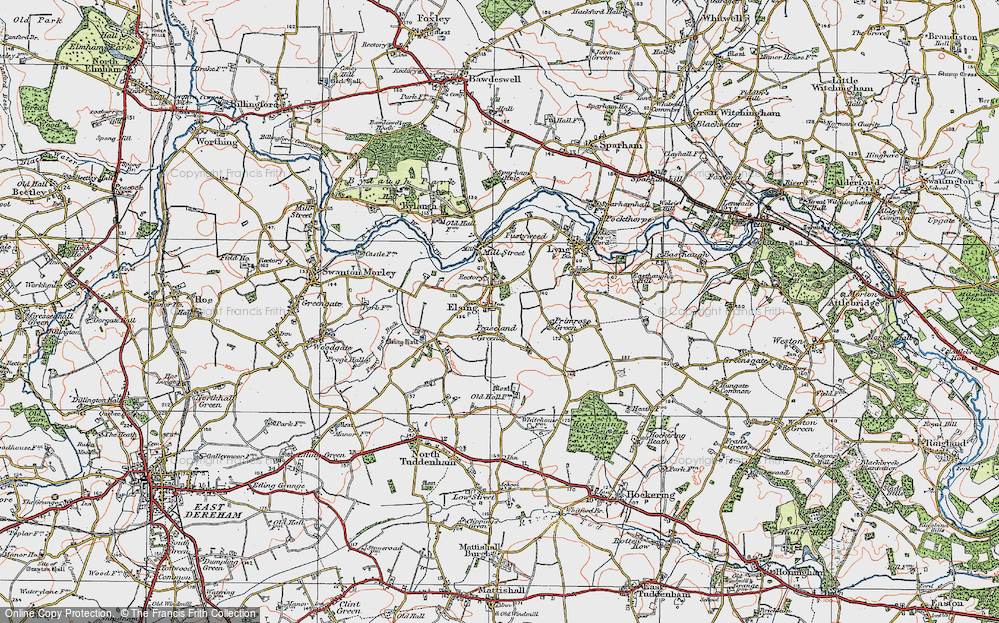
Elsing, 1946
Ordnance Survey, New Popular EditionScale: 1:50,000
Norfolk, 1840
Samuel Lewis County MapsScale: ~7 miles to 1 inch
Folded Sheet Maps of Elsing
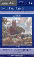
Folded sheet maps covering Elsing area are available. These maps are taken from historic Ordnance Survey's sheet maps. They have all been carefully scanned, digitally re-projected and enlarged to match the present-day Ordnance Survey Landranger® series. Each map is directly comparable with the corresponding Ordnance Survey Landranger® and uses the same sheet number and grid references, so enabling the past and the present to be compared with ease and accuracy.
Old Maps Near Elsing
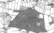
You may be interested in these old maps of the area nearby. Choose one to see a larger version.


