Merry Christmas & Happy New Year!
Christmas Deliveries: If you placed an order on or before midday on Wednesday 18th December for Christmas delivery it was despatched before the Royal Mail or Parcel Force deadline and therefore should be received in time for Christmas. Orders placed after midday on Wednesday 18th December will be delivered in the New Year.
Please Note: Our offices and factory are now closed until Thursday 2nd January when we will be pleased to deal with any queries that have arisen during the holiday period.
During the holiday our Gift Cards may still be ordered for any last minute orders and will be sent automatically by email direct to your recipient - see here: Gift Cards
Quad Framed Historical Map Print

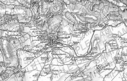
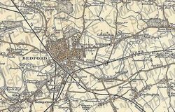
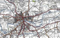
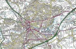
The ultimate survey - four Ordnance Survey maps showing how the landscape has changed from the early 1800s to the modern day. Centred on a postcode of your choice.
See the differences from the 19th-century up until today using four different Ordnance Survey series spanning two centuries. Printed to order, your chosen maps will be set in a cream mount and a choice of solid wood frame. Supplied ready to hang.
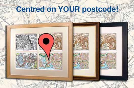
Samples of Maps Used:
Configure Your Map
To create your postcode centred framed print, simply enter your postcode below to start. Then choose your frame and add to your basket - nice and easy! We cannot currently offer a preview of your map, but have included some samples above so you know the kind of area covered.
1. Specify Postcode Centre:
You might also like:
Take a look at our range of other gifts and keepsakes that can be personalised on a postcode!

