Old Maps of Ballyfin, Republic of Ireland

Historic maps of the Ballyfin area
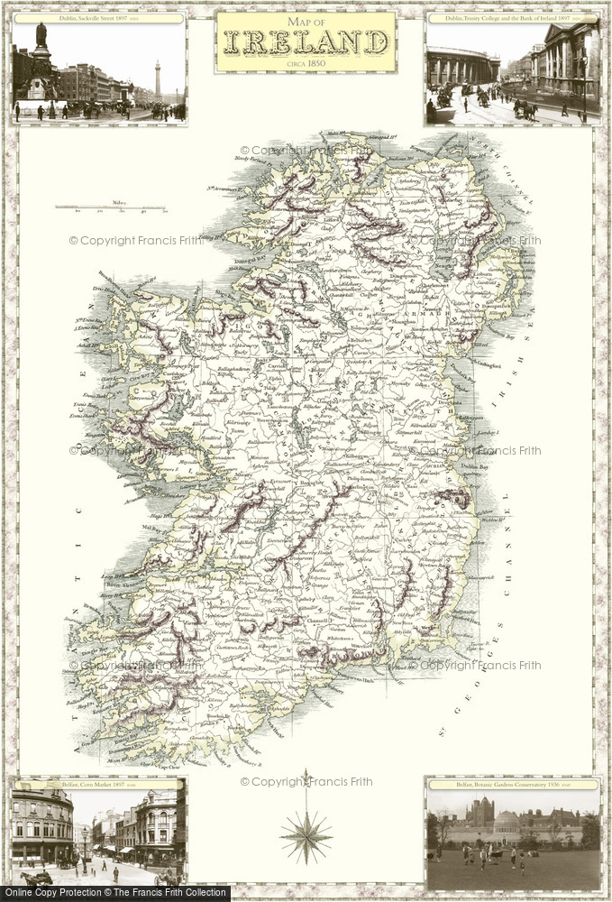
Old Historic Victorian County Map featuring Republic of Ireland dating back to the 1840s available to buy in a range of prints, framed or mounted or on canvas.
Republic of Ireland, 1840
Samuel Lewis County MapsScale: ~7 miles to 1 inch


