Places
5 places found.
Those places high-lighted have photos. All locations may have maps, books and memories.
Photos
6 photos found. Showing results 1 to 6.
Maps
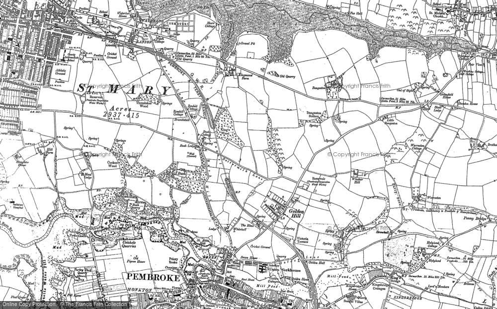
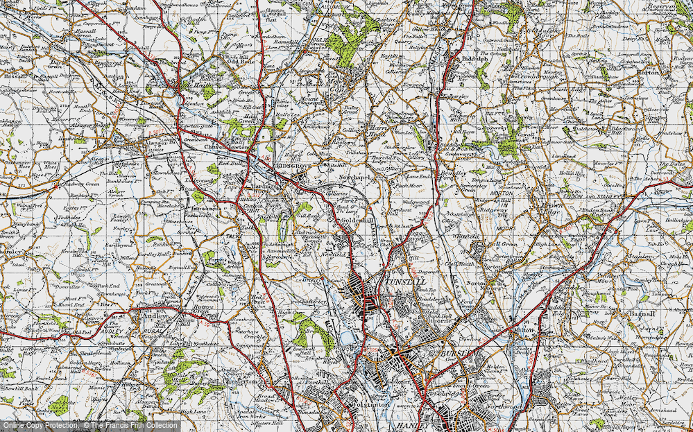
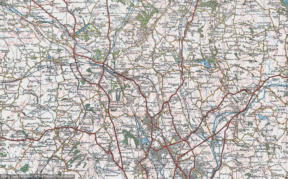
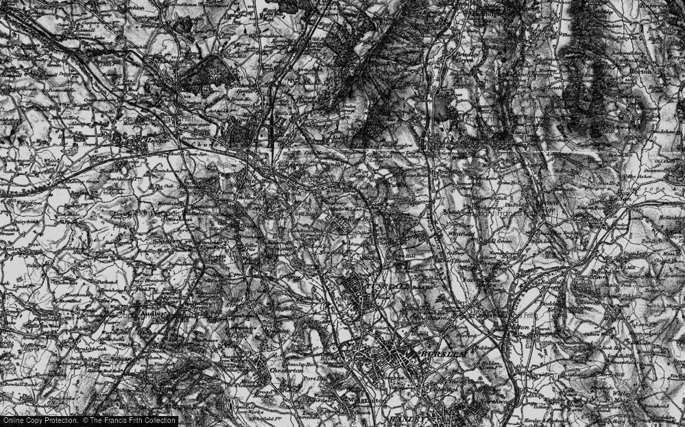
22 maps found.
Books
Sorry, no books were found that related to your search.
Memories
70 memories found. Showing results 1 to 10.
Grosvenor Road And Urmston, Always A Place In My Heart.
I lived on Grosvenor Road, Urmston - the allotment end - from 1965 to late 1969 age 3 to nearly 8 years of age with my 2 brothers and parents (we then moved to Blackburn). My daughter has recently ...Read more
A memory of Urmston by
Stanmore 1950 52
Hallo , my name is Cliff Bowley. My family moved to Stanmore in 1950 to a very large house called "Belmont Lodge " on the corner of Denis Lane and London Road junction. Does anybody remember it? It was knocked down for development, ...Read more
A memory of Stanmore by
Living In Hopton On Sea
My memory was triggered by the person writing about the Constitutional Camp's hall/ballroom building being burnt down. At the time I was attending the Primary School in the village and we could see the smoke and flames from ...Read more
A memory of Hopton on Sea by
1939 Onwards I Remember
I was born in 1939, the year war started, and remember being lifted out of bed in the middle of the night and the barrage balloons looked like big elephants in the sky. I also remember the table shelter in the lounge which I ...Read more
A memory of Harborne in 1940 by
Wells House
I was born in Hampstead in 1949 and lived with my parents in Wells House, Well Walk. It was a very happy period in my life. I attended New End Primary school and my Mum worked in New End Hospital My Dad use to take me to Whitestone Pond to ...Read more
A memory of Hampstead by
Walking In The River
From the concrete slab bridge by the watercress beds to the park near Scots Hill we would wade in the river with bare feet, I was only nine years old then. The river bed was a fine golden grit that was easy to walk on. The ...Read more
A memory of Rickmansworth in 1948 by
Good Times, Good Money, Good Friends.
I was sent frtom Leeds to Lower Bynamman in 1970 to work building up a huge 2400 Marion excavator for Sir Lindsey Parkinson at the GCG (Tyor Gwaith?) opencast coal site. I lodged at the Bryannam Hotel with Dez and ...Read more
A memory of Brynamman by
Growing Up In Mitcham
I was born Leslie Dennis Crutch in Grove Road 1948. My brother Ken was born 9 months after dad (Ronald Kenneth) had gone to Normandy as part of the landings - I was born 9 months after he was demobbed (funny that) to mum Winifred ...Read more
A memory of Mitcham by
Mother's Brother And Sisters
Just after the war Dad, Mum and I would travel every other weekend to visit aunts and uncles and cousins on our Norton motorbike and sidecar. We usually based our visit with Aunt Flo and Uncle Stan (a wartime despatch ...Read more
A memory of Andover in 1940 by
Where I Was Born
My Beginning, at Sole Street near Cobham Kent. (9th March 1946 - 2nd January 1951) I was born on Saturday March 9th 1946 at 3.29pm at Temperley, The Street, Sole Street, Kent. I was delivered at home by the ...Read more
A memory of Sole Street in 1946
Captions
30 captions found. Showing results 1 to 24.
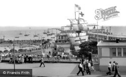
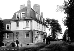
The Palace Hotel makes an impressive backdrop for this rear view of The Golden Hind.
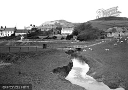
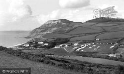
This view looks westwards from the River Winniford to Golden Cap (centre skyline) and Langdon Hill (top right).
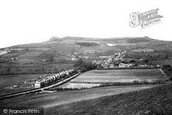
From the slopes of Quarry Hill, above Park Farm (centre), we look south-westwards to Golden Cap (left of centre) and Langdon Hill.
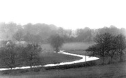
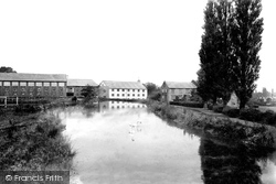
In this panoramic view of the Golden Valley, the mill chimneys are visible in the background; the workers' cottages are on the lower slopes of the hill, and the canal winds its way along the valley
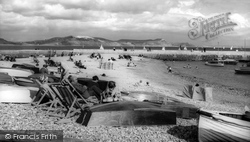
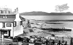
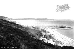
Pebbles and sand extend below the Royal Standard; we look eastwards from deck-chairs, boats and canvas shelters to the North Wall of the harbour and the coast from Charmouth and Stonebarrow Hill to Golden
The view is westwards from East Cliff to Golden Cap, with Langdon Hill (top right) forming the inland horizon on what is now National Trust land.
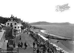
Beyond the Bay Private Hotel and Madeira Cottages (left centre) are Hardown Hill, Stonebarrow Hill (centre) and Golden Cap (right).
Beyond are the cliffs and skyline of Cain's Folly, Stonebarrow Hill, Langdon Hill and Golden Cap.
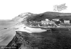
A classic west Dorset view, showing Seatown and Golden Cap which, at 618 feet above sea level, is the highest cliff on the South Coast of England.
There is still plenty of stone, although not the wonderful golden oolitic limestones from Ham Hill and the far south of the county; here we have the Blue Lias, a thin limestone which can only
The view across the water is to the cliffs of Cain's Folly (left) and the skyline of Stonebarrow Hill, Chardown Hill and Golden Cap.
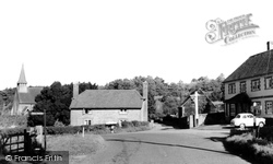
Moving on north from Dunsfold, we come to Hascombe, a most attractive and tranquil village set in a curving wooded valley in the greensand hills.
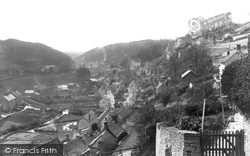
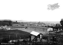
The school was in Hill Road, between Pound Road and West Hill Road, with a view across the town, including St Michael's Church (centre right), to Golden Cap (centre) on the eastern seaboard of Lyme
The school was in Hill Road, between Pound Road and West Hill Road, with a view across the town, including St Michael's Church (centre right), to Golden Cap (centre) on the eastern seaboard of Lyme
West of Bruton, Castle Cary is set on the side of the oolite hills of southern Somerset, with Castle Cary Park on Lodge Hill rising steeply behind the church.
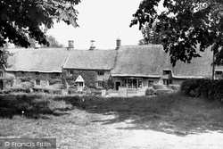
Surrounded by rolling hills, this has to be one of the most beautiful villages in Oxfordshire.
Beyond are the coastal heights of Stonebarrow Hill and Golden Cap (right), which at 617ft above sea level - higher than Beachy Head - is the highest point on the south coast.
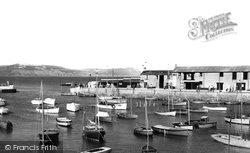
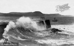
Here we see the buildings on the harbour wall of the Cobb, as we look eastwards through the entrance (left) to Cain's Folly and Stonebarrow Hill, from where National Trust land now extends to Golden Cap
The view is eastwards to Stonebarrow Hill and Cain's Folly (top left) and the familiar profile of Golden Cap (central skyline) with Thorncombe Beacon to the east (right).
Golden Cap rises at the centre, with tree-coverd Langdon Hill (top right) to landward.
From Ware Cliffs we can see the medieval Cobb harbour (centre right) and the coastal skyline of Stonebarrow Hill, Golden Cap and Thorncombe Beacon.
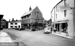
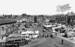
It is Market Day in the busy little town of Thirsk, which stands at the foot of the Hambleton Hills, halfway between York and Darlington.
It is Market Day in the busy little town of Thirsk, standing at the foot of the Hambleton Hills, halfway between York and Darlington.
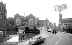
Sixty years and two world wars on from the photograph of 1906, the late 18th-century house on Church Hill has been demolished and replaced by the War Memorial Building, designed by Sir Herbert Baker in
Places (5)
Photos (6)
Memories (70)
Books (0)
Maps (22)


